Improvement Location Surveys
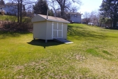
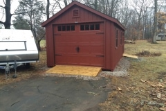
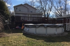
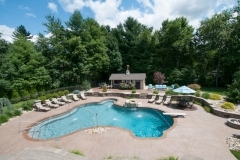
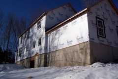
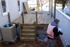
There are numerous boundary, deed, and zoning issues that a homeowner needs to be aware of prior to taking on an exterior home improvement project such as an addition, a detached garage, or a pool. We have the expertise to help homeowners with all aspects of the project to ensure that it is not only feasible but complies with your local zoning regulations and any deed restrictions you might have.
Whether your project involves an addition, a garage or a pool the process is quite similar.
We start with researching both our own extensive records and any available online records. We next will visit the property and your town/city’s land records for additional information. We’ll perform some pre-survey calculations and mapping prior to heading out to the property to conduct the survey. Once we collect the necessary field data for your property we return to our office and perform additional calculations and prepare the necessary mapping. This entire process takes between ten and fifteen business days.
The mapping we prepare will be either a Zoning Location Survey or an Improvement Location Survey depending on your particular situation and what is required by your Town or City. Both types of surveys are utilized to depict or note the position of existing and proposed improvements with respect to applicable municipal setback requirements. The difference is an Improvement Location Survey is utilized when your particular project might also require elevations (topography) due to your particular town’s requirements or possible some physical feature on your property (i.e. steep slopes, wetlands, a drainage ditch, etc.).
